 | ||||||||||||
DOVE HILL / ELK CUTOFF TRAILSThe original Dove Hill Trail was built with the support of a couple of community-based societies by the late Colin Pryce, the founder of the Friends of Parks and Trails Society. He visualized Dove Hill as a symbol of Peace and encouraged symbolic ceremonies such the release of doves from the top. A memorial bench at the west viewpoint commemorates Colin's life-long commitment toward making Castlegar a better place. In 2003 I was able to secure significant funding from the Brilliant Expansion Project Consortium which allowed me to more than double the trail length by running an extension from the top of Dove Hill to a junction with Skattebo Reach Trail above Brilliant Dam, and to add a short spur trail (Elk Cut Off Trail). These developments allow loop walks around Dove Hill at two different elevations. For the complete account of the project development and the appropriate acknowledgments, see Dove Hill Trail Construction History.
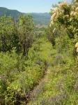
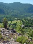
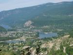
As first constructed, the original trail ascends up the west and south faces of Dove Hill and gradually gains elevation by means of numerous switchbacks. Several benches along the way provide rest stops. The hike is especially rewarding in the spring when the open, sunny slopes are green and decorated by meadow flowers and blooming brushwood. Near the top of the hill, the trail splits in two directions, both leading to viewponts. Here, handcrafted memorial benches have been installed which allow the hiker to rest and savour the lovely vistas of the Columbia valley.
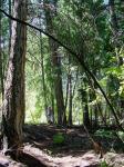
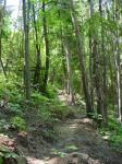
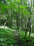
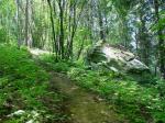
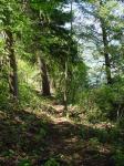
In 2003 Dove Hill trail was extended beyond Survey Peak to run down the tapering north-eastern ridge of Dove Hill as far as the new public parking lot above the Brilliant Substation, where it ties in to Skattebo Reach Trail. A shorter trail (Elk Cutoff) was constructed to loop around the steeper north-west face of Dove Hill and to emerge at the site of the radio and TV transmitters. A public toilet was also installed above the Brilliant Substation. These improvements were planned and carried out by me under an agreement between the Friends of Parks and Trails and Columbia Power Corporation, as Phase One of a compensation package which relates to disruptions and trail closures made necessary by the Brilliant Expansion Project.
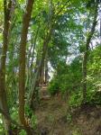
With the new trail system in place, it is now possible to walk up the old trail and then return via a loop which includes the Elk Cutoff Trail and the service road to the transmitter site. (about 3 km.) Another option is to descend to the Brilliant Substation parking area (2.8 km.) and return via the Golf Course. (about 5.8 km.) The climb over Survey Peak requires an elevation gain of 170 metres. The shady, forested terrain which is followed by the new trails provides a balance to the more open and sun-blasted south-westerly slope, which can become quite warm on a summer day. Two viewpoints with sturdy benches have been incorporated into the new work.
The Dove Hill trail-head can be reached by driving up the Castlegar Golf Course Road and following a short dirt road to the parking area, as indicated by the directional sign located just past the Golf Course fence gate. | ||||||||||||
|
All rights reserved. Information is provided for personal use only. Use in any other application without permission is forbidden. |

